

Hohenems -Haag (14b)












Partner
Hier könnte das Logo Ihres Unternehmens zu sehen sein
Info dazuOutdooractive-App

Navigation

Rhine, in the right background Hoher Kasten
Then we head south again, crossing the Frutz and Ill streams, hiking through a beautiful nature reserve Bangs-Matschels and practically unnoticed cross the Austrian-Liechtenstein border in the Bangserfeld. The Illspitz or the Matschelser Riet offer opportunities for a rest. At Ruggell, we cross over the Rhine into Switzerland. There in Sennwald, the kybun World, the health park for healthy movement, invites us for an exciting visit. With many impressions, new insights and personal experiences, we follow the Werdenberger Binnenkanal to the stage destination Haag.
Anmerkungen
On the alternative route, we head for Grabs, a place where Gallus stayed after his separation from Columbanus.
After leaving Hohenems, we mostly walk along the Rhine.
Tipp des Autors
Alternatively recommended Stage 14a from Hohenems to Feldkirch.
Orte entlang des Weges
We cross the town of Hohenems towards Switzerland, but remain on the Vorarlberg side of the Rhine. Here, the so-called Old Rhine forms the border between Switzerland and Austria. Under the motorway and turn left. We hike along the old and then the new Rhine towards Mäder, which we leave on the left. We are now in an area that has repeatedly been affected by floods that caused great damage. For this reason, the Rhine was straightened not only near Hard at Lake Constance but also in 1923 between Diepoldsau and Widnau in Switzerland. The municipality of Diepoldsau therefore lies on the right bank of the Rhine, between the old and new Rhine.
On the Swiss side, we see the Montlingerberg. There is evidence of a settlement as early as 1000 BC. The slightly elevated position protected the inhabitants from floods.
On the Austrian side, there is also a hill, the Kummaberg, whose settlement dates back to the Mesolithic period based on archaeological finds. At that time, Lake Constance reached Rankweil, making the hill – like the Montlingerberg – an island.
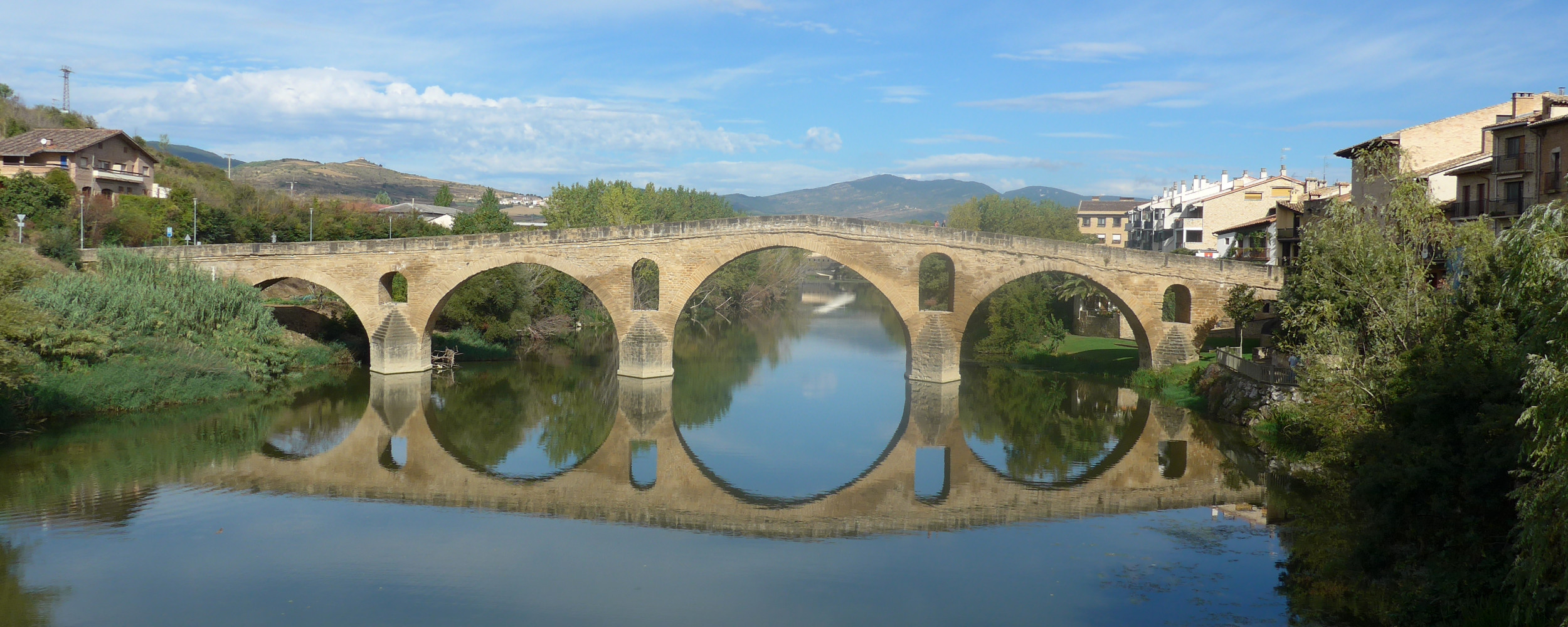
The Frutz blocks our way. We take the bridge to get to the other side.
We cross the Ill, which comes from the Montafon and played a major role in the aforementioned floods. Austrians and Swiss each raised their Rhine levees to divert the water to the opposite side.
At Illspitz, we enter the Euro-protected area Bangs-Matschels.
We do not cross the Spiersbach but stay on the right side of the stream (looking downstream), hiking on a nice grassy path for about 1 km, then following the yellow-white signage, turn left into the forest. On pleasant paths, we cross the “Partenwiese”, a floodplain area with wonderfully natural flora, until after about 2 km we reach a road where we turn right but leave it again immediately and follow the parallel trail. The signpost shows us the direction: Ruggell. This also indicates that we will cross the border into the Principality of Liechtenstein. This happens in the forest without us noticing.
After about 1 km on a slightly monotonous agricultural path, we cross a small stream and cover the last few hundred meters on an embankment that offers a beautiful view into the nature reserve on the right. On the left side, various larger buildings greet us, including the casino in Ruggell.
At Ruggell, we cross the Rhine to the Swiss side and hike along the Werdenberger Binnenkanal to our stage destination Haag.