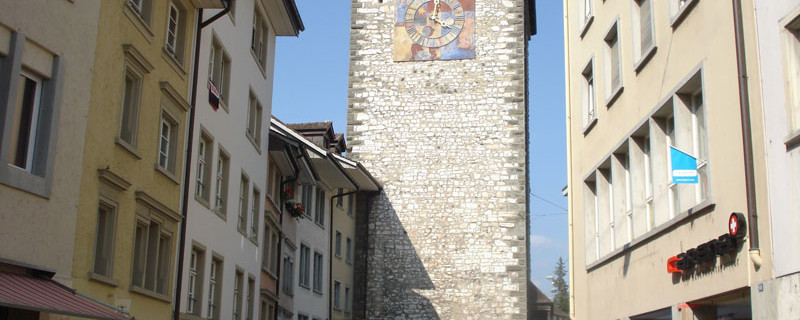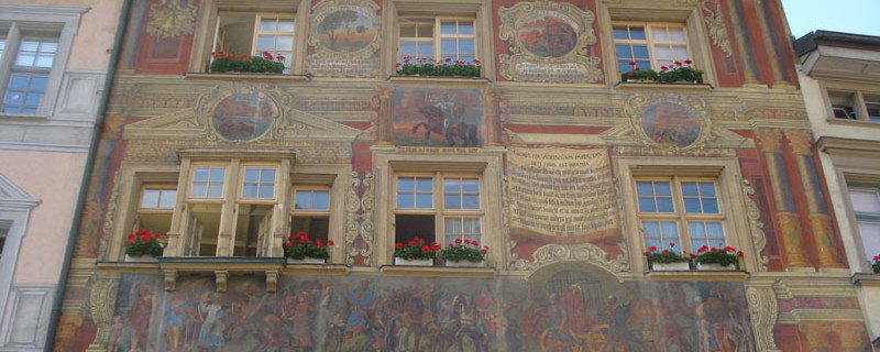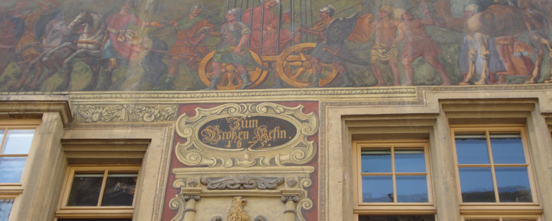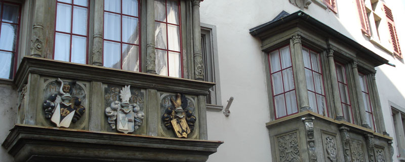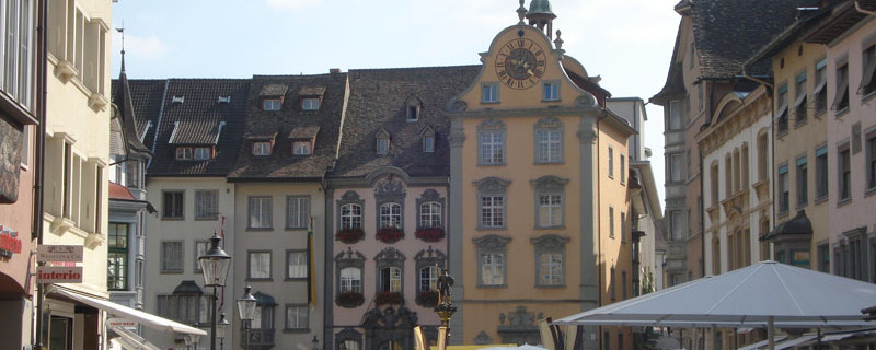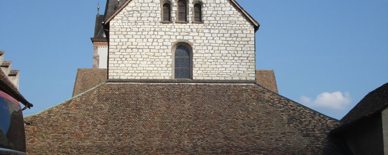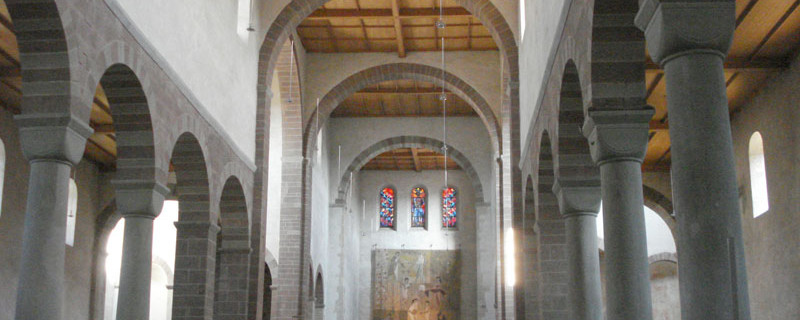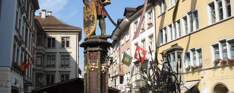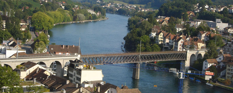
Schaffhausen: Old Town
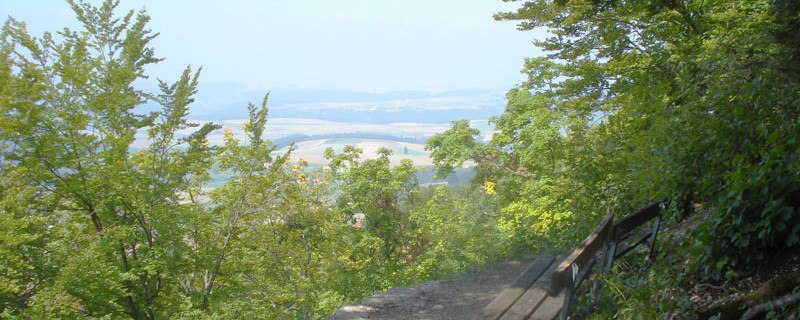
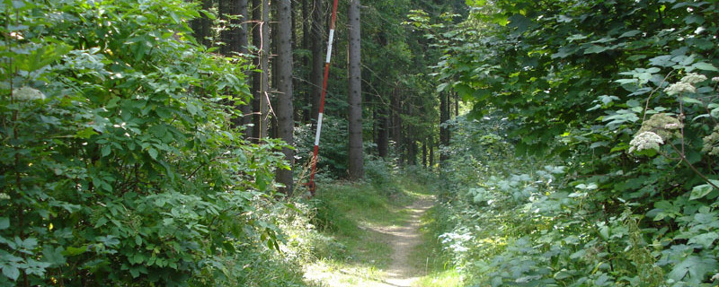
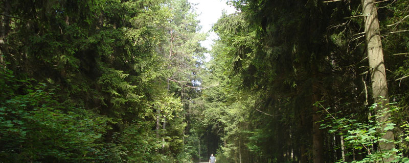
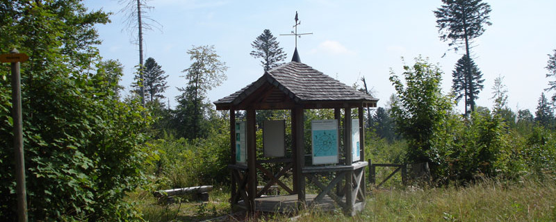
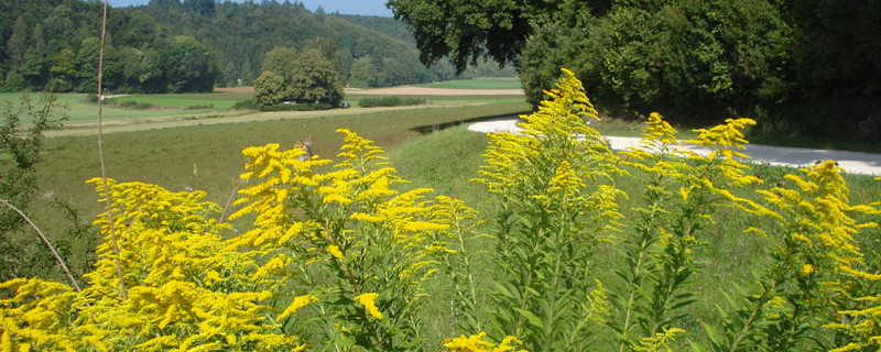
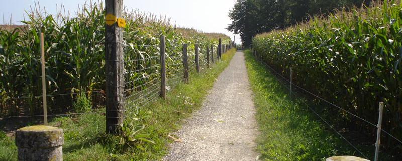
Today's stage will take us over a distance of 27.2 km with a walking time of about 7.5 hours from Blumberg to Schaffhausen. We can expect a difficult stage today. We start the hike at the parish church in Blumberg and leave the town heading east. We follow the signposted paths and arrive in Randen after about 5.5 km. The path today leads us over asphalt and natural trails. We leave Randen and turn right after the village. On the Schwarzensteinweg, we hike to the Randenhof. Shortly before the Swiss border, we reach the highest point of the day's stage at about 11.0 km with an altitude of 919 m. The path then continues over fields and through forests. For the rest of the route, we are in the Schaffhausen Regional Nature Park. After about 16.0 km, the trail starts to descend and the Thurgau Monastery Trail and the Schaffhausen-Zurich Route separate at the crossroads for the last 10.0 km. The Thurgau Monastery Trail leads us further over the Chrisling and through the Escheheim Valley. We approach Schaffhausen from the northwest. We cross the railway tracks and arrive in Schaffhausen's old town.
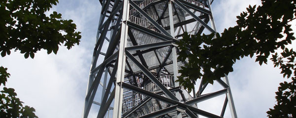
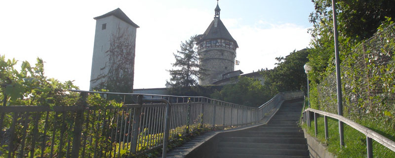
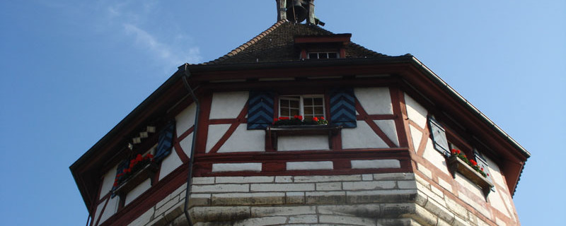
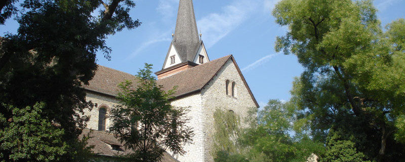
Today we pass the following sights: Hagenturm, Allerheiligen Monastery in Schaffhausen
It is possible to choose the Schaffhausen-Zurich Route from Blumberg to Rapperswil-Jona.
Anmerkungen
The Blumberg - Schaffhausen section is part of the Thurgau Monastery Trail, which will take us from Blumberg to Tobel. This stage is also part of the Schaffhausen-Zurich Route, which leads us from Blumberg to Rapperswil-Jona. We are on the Swiss Pilgrim Ways.
Orte entlang des Weges
Blumberg - Parish church - Heilinbuck - Randen - Schwarzenstein - Klausenhof - Hoher Randen - Swedish entrenchment - Uf Neuen - Im toten Chrieger - Talisbänkli - Mittelbuck - Winkelsacker - Füezemersteigli - Lahnbuck - Schaffhausen (train station)